Discover tailored solutions from our expert engineering team.
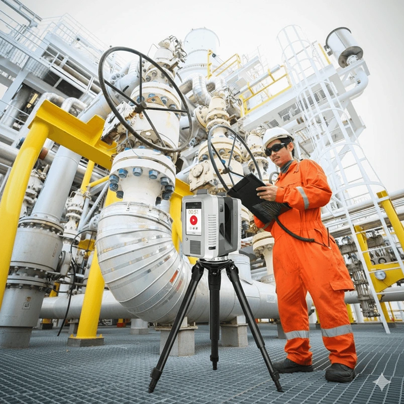
Ultra-precise spatial data capture using advanced LiDAR technology for offshore platforms, industrial plants, and commercial buildings with accurate as-built documentation.
Learn More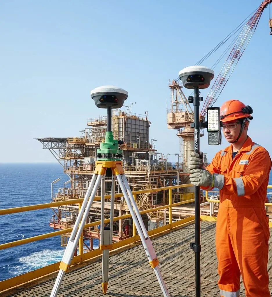
Comprehensive GNSS survey services for accurate georeferencing, positioning, and control point establishment across offshore and onshore environments.
Learn More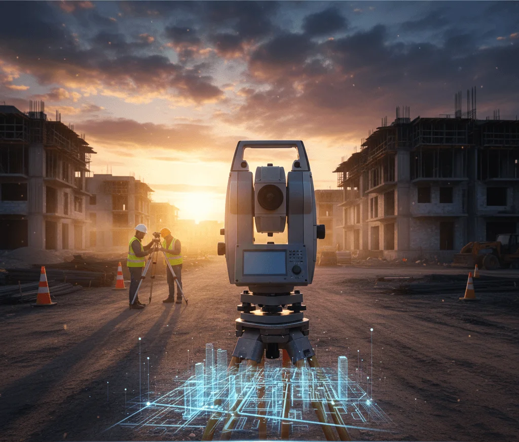
High-accuracy dimensional measurements using advanced robotic total stations for offshore structures, industrial facilities, and construction sites.
Learn More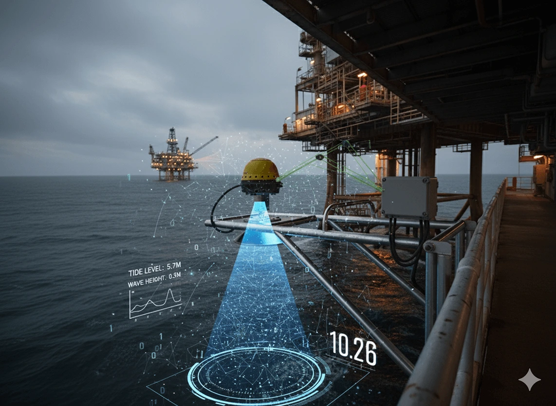
Accurate water level measurements for elevation referencing, marine construction, and offshore asset planning using radar sensors and pressure transducers.
Learn More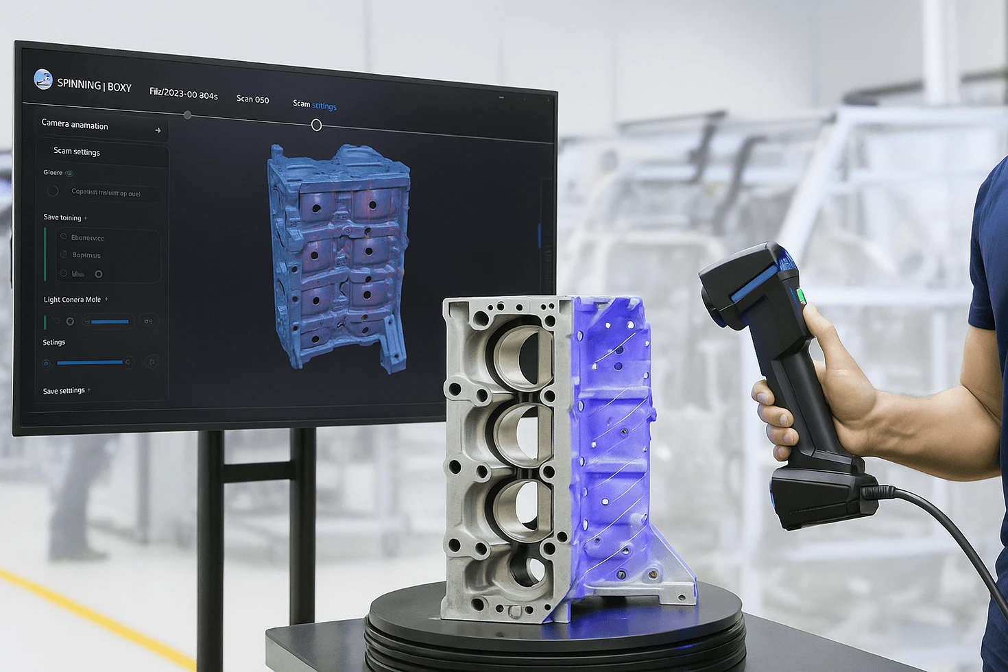
High-precision portable scanning for detailed capture of engineering components, ideal for reverse engineering, quality control, and digital archiving.
Learn More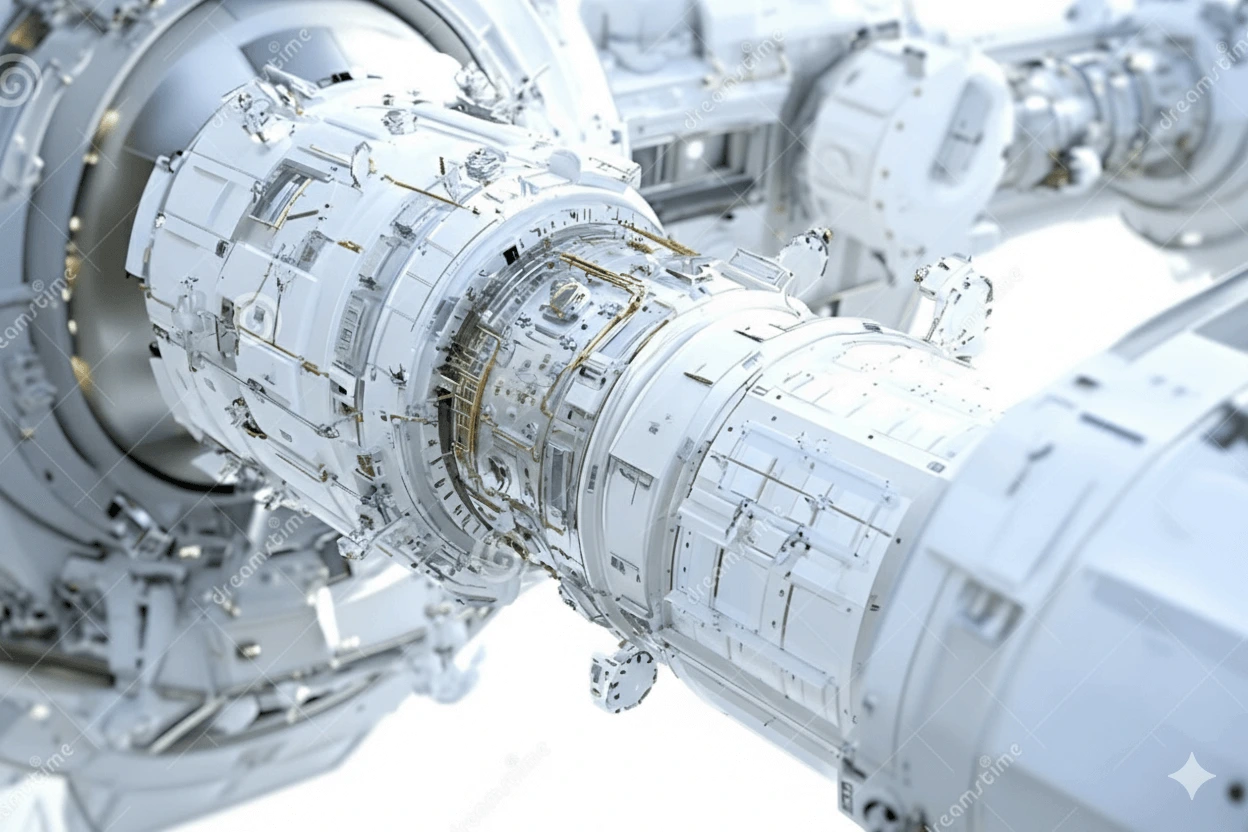
Advanced BIM-ready intelligent 3D models with parametric components, semantic data, and clash detection capabilities for comprehensive asset management.
Learn More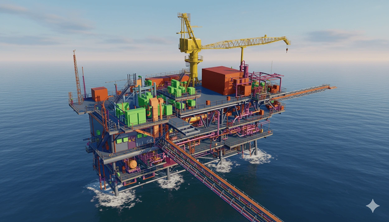
High-accuracy geometric 3D models for visualization, measurement, and documentation purposes with precise dimensional representation.
Learn More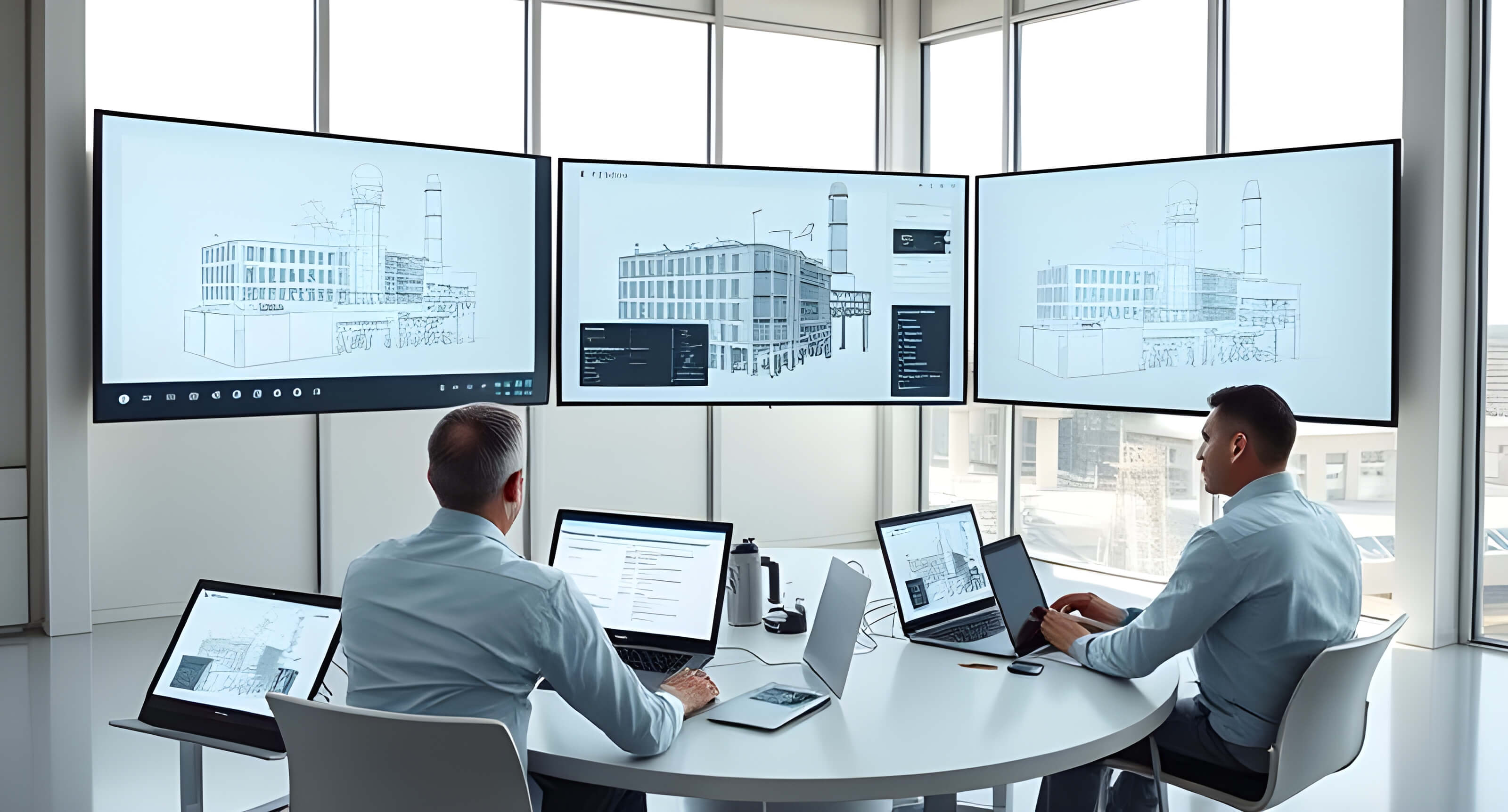
Interactive digital environment using 3D scans and panoramic imagery for centralized asset documentation and enhanced operational decision-making.
Learn More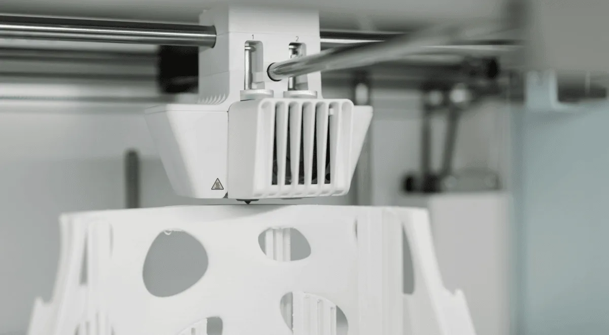
Advanced 3D printing solutions for rapid prototyping, custom parts manufacturing, and innovative engineering applications across multiple industries.
Learn More
Advanced mobile mapping solutions for large-scale facility documentation, terrain modeling, and comprehensive environmental monitoring.
Coming Soon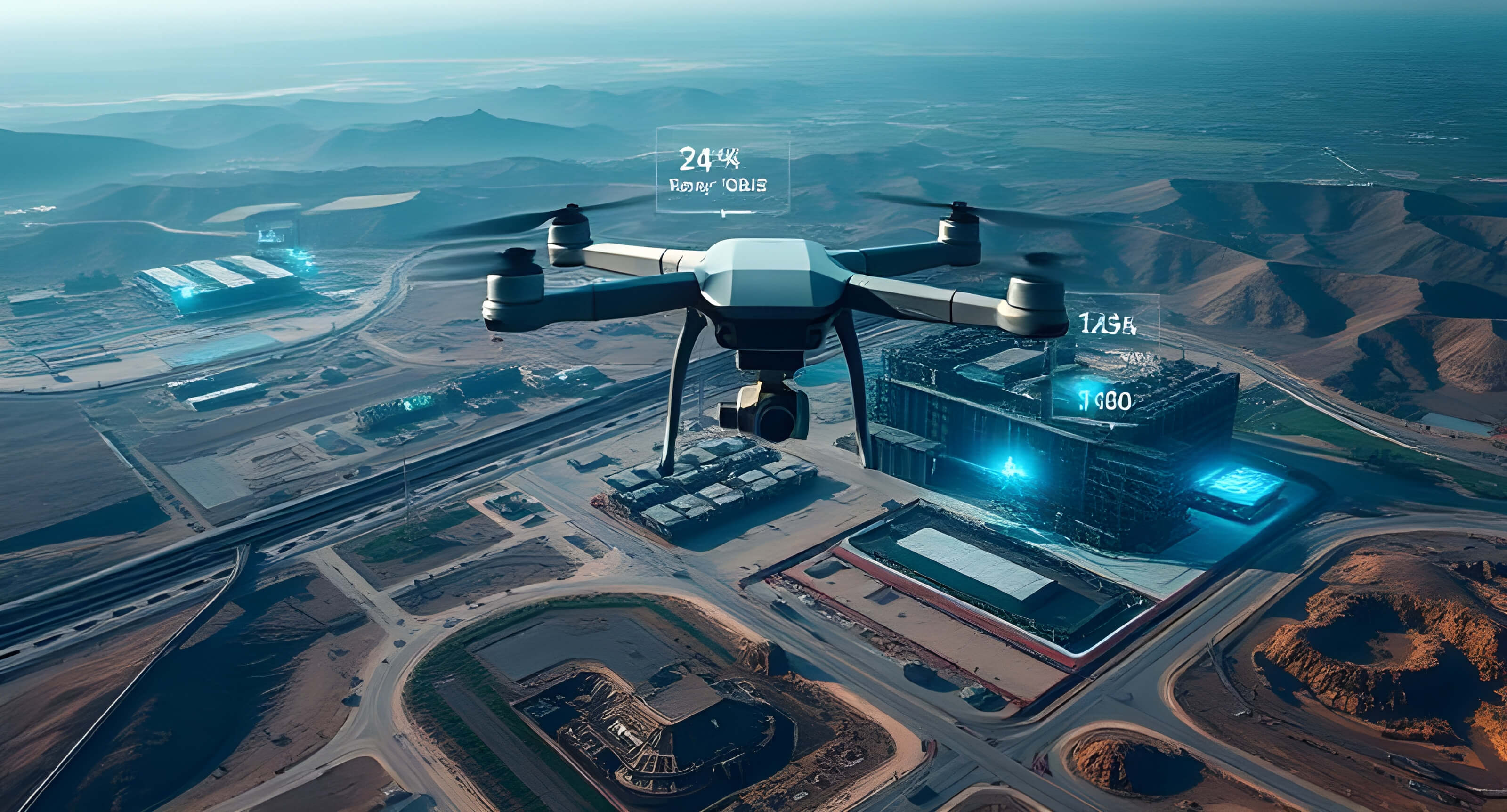
Revolutionary UAV aerial mapping with 24-hour turnaround, 1cm accuracy, and automated data capture for site assessment and terrain modeling.
Learn More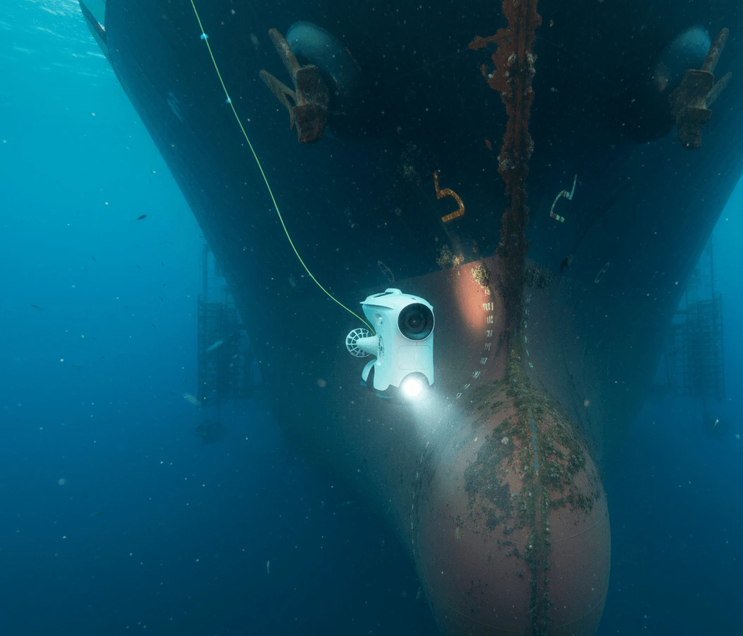
Comprehensive underwater inspection services using advanced drones for hull inspections, structural integrity assessment, and marine construction support.
Learn MoreContact our experts today for a comprehensive consultation and custom solution tailored to your needs.