GNSS Survey

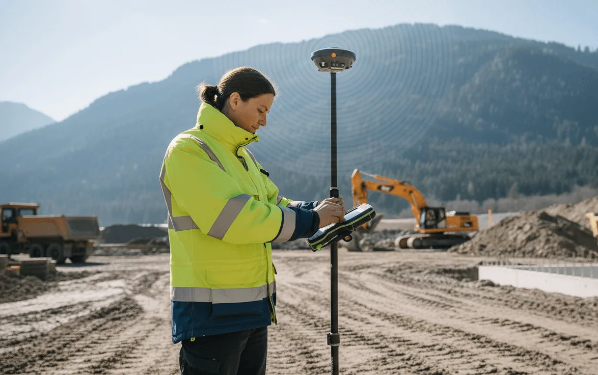
We provide comprehensive GNSS survey services for accurate georeferencing, positioning, and control point establishment across a wide range of environments. Using high-precision GNSS receivers and robust field practices, our team ensures accurate spatial data collection aligned with project-specific datums.
Offshore platforms and subsea installations
Precise positioning for marine environments
Onshore industrial plants and infrastructure sites
Accurate surveying for complex industrial facilities
Construction and civil projects in remote terrains
Reliable positioning in challenging environments
Technical Expertise
We specialize in performing geodetic calculations, datum shifts, and coordinate system transformations—from global standards like WGS84 to local or project-specific systems—ensuring seamless integration into engineering and GIS workflows.
All transformations and survey adjustments are carried out by qualified geospatial experts, guaranteeing reliable results for construction layout, dimensional verification, pipeline routing, and marine navigation.
Ready to Start Your Project?
Contact our experts today for a comprehensive consultation and custom solution tailored to your needs.
Get in Touch